Minnesota weather: Snow totals from first round of spring snow
![MN weather: Road 1 of spring snow storm [7 a.m. update]](https://m107833-mcdn.mp.lura.live/iupl/F35/367/F3536734882D85A9437639B310053578.jpg?Expires=2082758400&KeyName=mcpkey1&Signature=0nAEa9W4pHO3UPVNGMsRTMLUmgY)
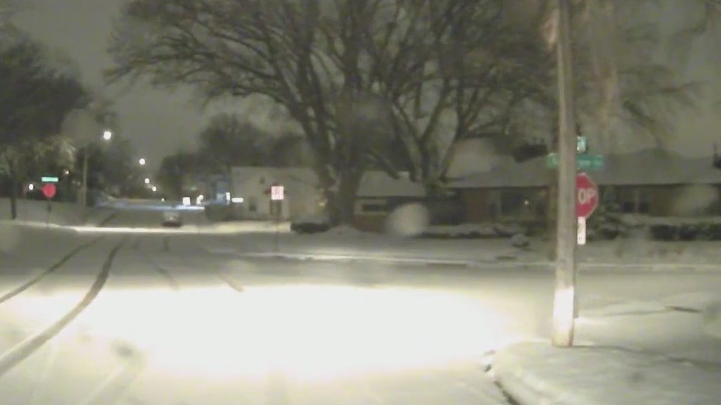
MN weather: Road 1 of spring snow storm [7 a.m. update]
Here's the latest on the first round of wintry weather this spring. Another round is expected to bring snow to the area on Sunday.
MINNEAPOLIS (FOX 9) - The first spring snow dumped several inches of snow across the Twin Cities metro and beyond Thursday night into Friday morning. Here's how much snow we got.
Minnesota, Wisconsin snow totals
Higher snow totals were seen across the north metro. Here are the snow totals as of 7 a.m. Friday. (Note: these totals could be a bit higher since flakes are still falling as of this writing).
- St. Cloud: 8 inches
- Clear Lake: 8 inches
- Chisago City: 7.5 inches
- St. Francis: 7.5 inches
- Becker: 6.7 inches
- East Bethel: 6.5 inches
- Big Lake: 6.2 inches
- Ham Lake: 5.5 inches
- Anoka: 5.5 inches
- Otsego: 4.8 inches
- Maple Grove: 4.2 inches
- Champlin: 4.2 inches
- New Hope: 4.1 inches
- Golden Valley: 4.1 inches
- Long Lake: 4 inches
- Brooklyn Center: 4 inches
- Coon Rapids: 4 inches
- Minneapolis: 3.9 inches
- Hugo: 3.8 inches
- Rochester: 3.8 inches
- Shoreview: 3.6 inches
- Burnsville: 3.5 inches
- Stillwater: 3.5 inches
- White Bear Lake: 3.5 inches
- Northfield: 3.3 inches
- Falcon Heights: 3.2 inches
- Richfield: 3.2 inches
- Lakeville: 3 inches
- Savage: 2 inches
- Carver: 2.2 inches
This is a developing story and will be updated as the snow moves out of the area.
READ MORE: Spring snow leads to slick roads Friday morning
More snow Sunday
More snow, with higher snow totals than this latest round of wintry weather, is in the forecast for Sunday.
The National Weather Service has issued a winter storm watch for the Twin Cities metro and much of Minnesota starting at 7 a.m. Sunday. This wintry weather will bring snow and wind on Sunday but then the potential for changing precipitation types, which will lead to adjustments in the forecast.
This is a developing story. Check back for updates.

Spring snow making for slick roads Friday morning
The overnight snow has led to some slick roads Friday morning in the Twin Cities metro and beyond. FOX 9's Bill Keller has the details.

