

Cold front moves through Twin Cities Thursday night, wind chills in 20s expected Friday
(FOX 9) - While snow is often the headline, it will be taking a backseat the upcoming few days to our cold that will affect all of us. Now, I’m not saying that we can’t get some flakes in the Twin Cities and even some light accumulations in northwestern Minnesota, but it will be the cold that is the MUCH bigger story around here into the weekend.
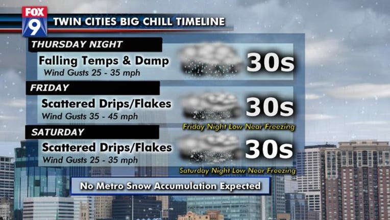
The large temperature dip is expected to begin in western Minnesota Wednesday night and early Thursday, but then will likely stall for much of the day, before pushing quickly eastward Thursday night. But it’s not just the temperatures falling that’s the issue, it’s the combination of those falling temps and the gusty winds that will likely make Friday morning feel some 30 to 40 degrees colder. Check out a rough timeline of wind chills heading through the next couple of days.
Temperatures will likely stay in the 30s and 40s through the weekend. But with winds gusting to 40 mph at times, wind chills could be stuck in the teens, twenties, and thirties for Friday, Saturday AND Sunday which will make it feel more like mid-November than heading into the middle of October.
Misery loves company though right? Temperatures will not just tank in Minnesota during the end of the week, but really much of the country as this cold air mass pushes all the way to the Gulf of Mexico and the East Coast through Saturday.