

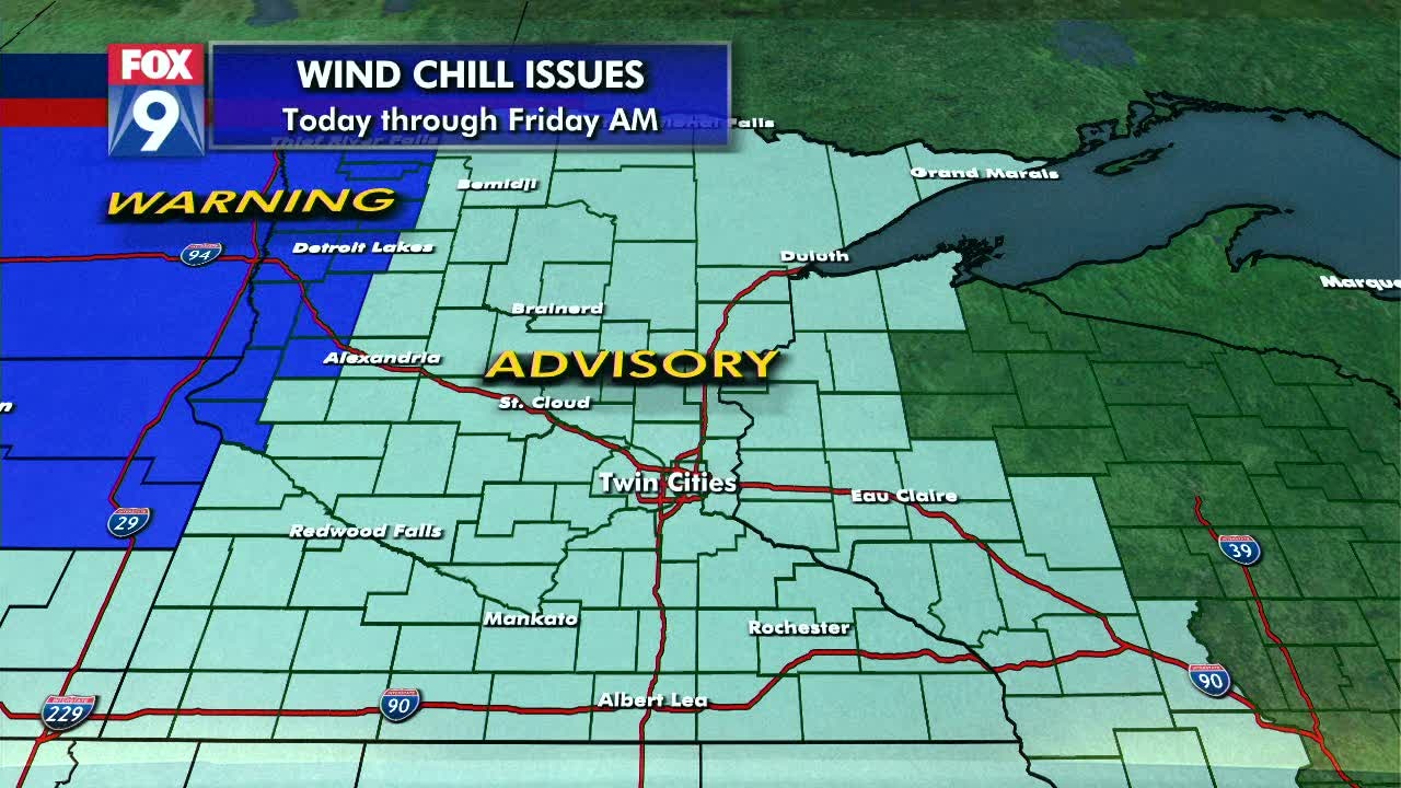
Subzero temps return to entire state of Minnesota
(FOX 9) - Temperatures spent most of Wednesday falling as much colder air returned to the state. Now we will spend Thursday and Thursday night entrenched with Arctic air.
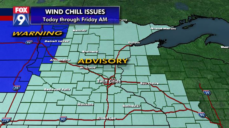
Daytime temps will stay below zero for much of the area, including the Twin Cities metro. Winds will gradually subside, but even light breezes will create dangerous wind chills dropping to 30 degrees below zero in the Twin Cities, and 45 below in western and northern Minnesota. This drops frostbite times to 15 minutes or less so caution will be needed when spending any amount of time outdoors.
Wind chills at 7 a.m.
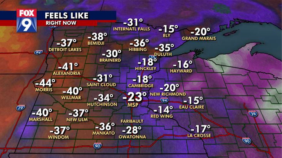
Wind chills at 7 a.m. (FOX 9)
- Morris: -44 degrees
- Alexandria: -41 degrees
- Bemidji: -38 degrees
- New Ulm: -37 degrees
- Hibbing: -36 degrees
- Mankato: -36 degrees
- Duluth: -35 degrees
- Hutchinson: -34 degrees
- St. Cloud: -31 degrees
- MSP Airport: -23 degrees
- Hinckley: -18 degrees
Our coldest temperatures will be found around sunrise Friday when calm winds and clear skies will lead to perfect conditions for VERY cold air as lows will be in the teens and twenties below zero in the Twin Cities. Some negative 30s will likely appear in parts of central and northern Minnesota.
Thursday's forecast: COLD! A high today of -2
Overnight dangerous temps continue with a low near -17
We begin our slow climb out of the Arctic tundra Friday afternoon and evening as a brief reprieve will show up Saturday before another big plunge starts Saturday night and goes through Monday.
Download the FOX 9 Weather App to stay up to date on the winter weather with the latest temperatures, snow totals, forecasts and school closings 24/7 customized for your current location and favorite locations: fox9.com/apps.