

Tropical Depression Edouard makes landfall as Texas hit with heavy rain, gusty winds
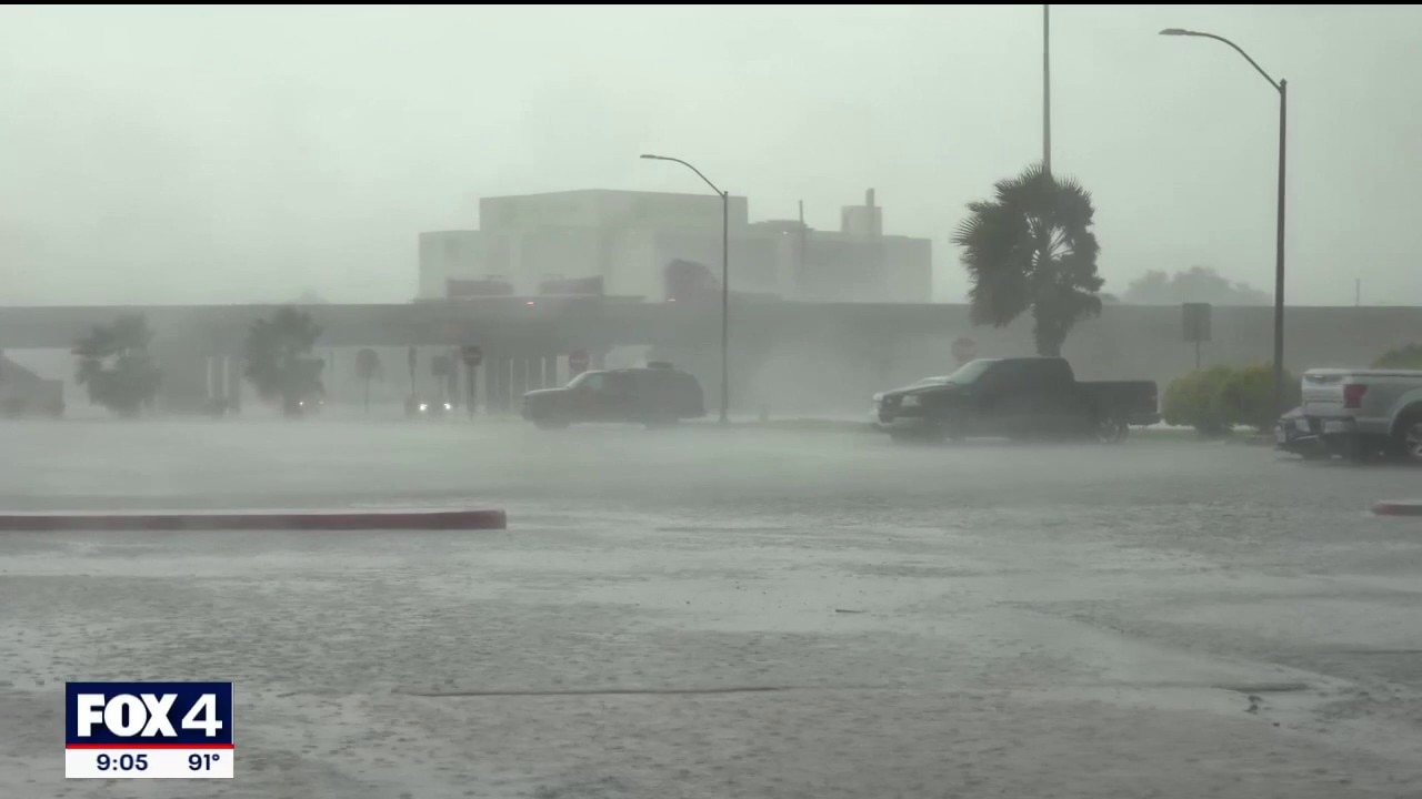
Tropical Storm Edouard makes landfall on Texas coast
According to the National Hurricane Center, Edouard made landfall at 2:20 p.m. CT near Johnson Bayou, Louisiana, with maximum sustained winds of 60 mph and gusts up to 71 mph.
HOUSTON - Tropical Storm Edouard has made landfall as it slams Texas with heavy rain and gusty winds Tuesday. According to the National Hurricane Center, Edouard made landfall at 2:20 p.m. CT near Johnson Bayou, Louisiana, with maximum sustained winds of 60 mph and gusts up to 71 mph.
Around 9:30 p.m. on Tuesday, Edouard weakened to a Tropical Depression.
If Edouard had been able to create winds of at least 74 mph, it would have been the first hurricane of the 2026 Atlantic season.
Where is Tropical Depression Edouard?
Tropical Depression Edouard is moving onto land near the Texas-Lousiana state line and is forecast to continue moving nortwest Tuesday night into Wednesday morning.

(FOX Weather)
What is the forecast track for Tropical Depression Edouard?
According to the NHC, Tropical Depression Edouard is forecast to continue moving north-west through Wednesday morning before disppating.

(FOX Weather)
Are there any alerts for Tropical Depression Edouard?
A Tropical Storm Warning (red) has been issued for parts of the Texas coast from Port Bolivar to Louisiana.

(FOX Weather)
A Storm Surge Watch is in effect for the Texas coast from High Island to Louisiana.
A Flood Watch has also been issued for much of Southeast Texas, including the Houston metro area.
(FOX Weather)
What impacts will Tropical Depression Edouard have on Texas?
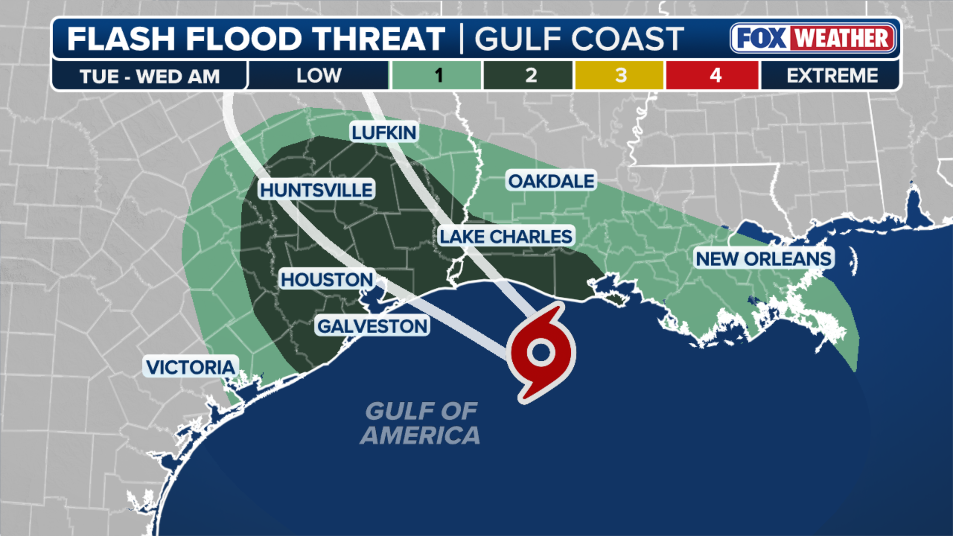
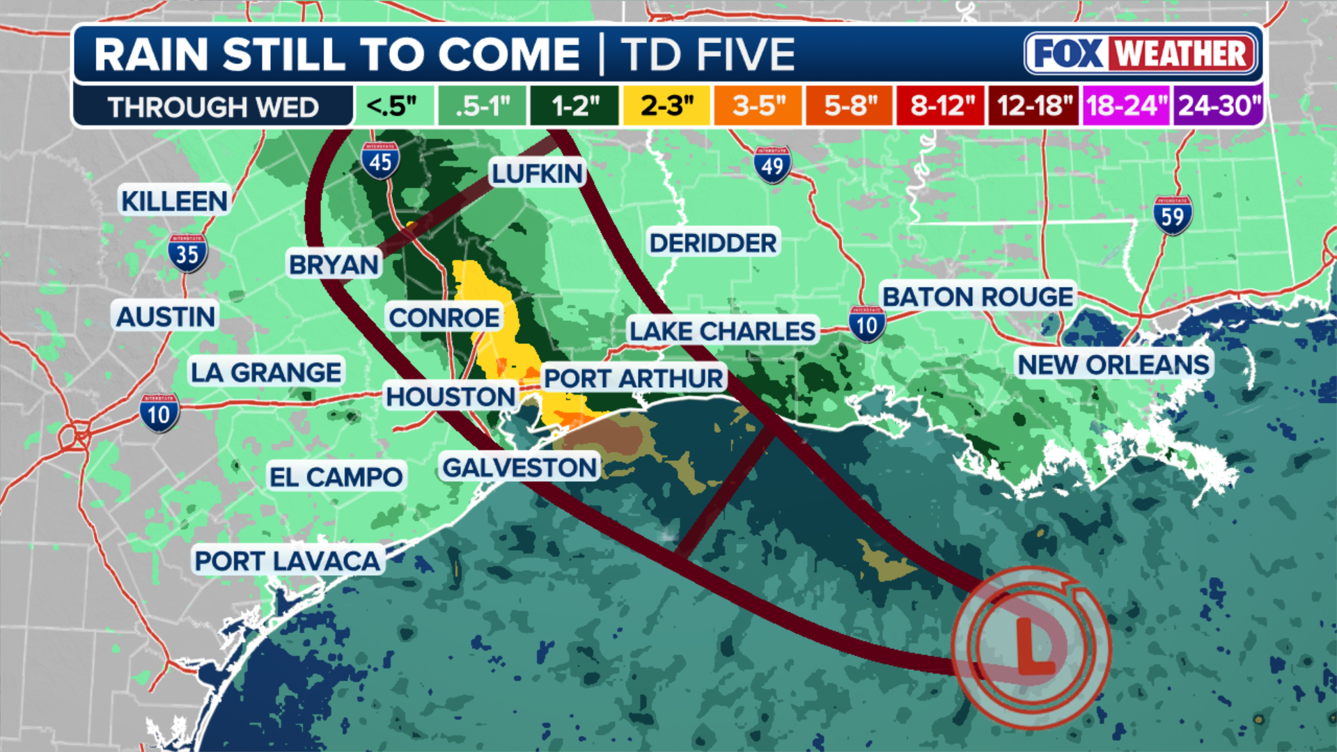
The biggest impact on Texas from Tropical Depression Edouard will be in the form of heavy rain.
NOAA’s Weather Prediction Center has placed part of the Southeast Texas coast in a moderate (Level 3/4) risk of flash flooding on Tuesday and Wednesday. The Houston area is in a slight risk zone.
(FOX Weather)
The Source: Information in this story came from FOX Weather, the National Hurricane Center and the Weather Prediction Center.