Minnesota weather: What to expect for overnight storms

MN weather: Overnight storms, hot weekend
Storms are expected to roll into the Twin Cities overnight Thursday, bringing with it the heat.
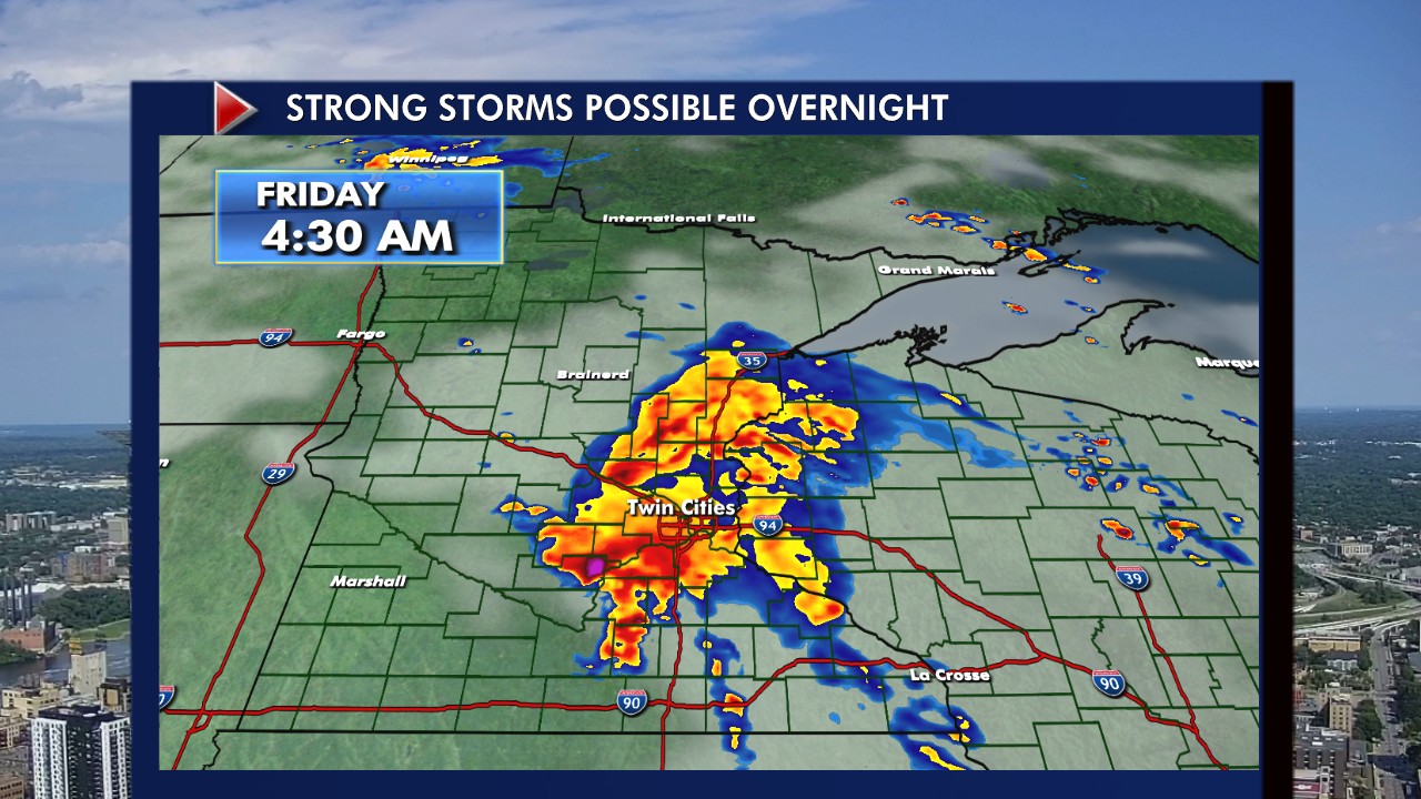
Strong storms are tracking towards the Twin Cities and are expected to arrive early Friday morning.
Strong storms overnight
What to expect:
Strong storms developed near Fargo, North Dakota, and are tracking southeast towards the Twin Cities.
The storms are expected to hit the Twin Cities between 3-6 a.m. but are expected to arrive in the state between 10 p.m. Thursday and 7 a.m. Friday.
Possible 1.5-inch or bigger hail, 60 mph winds, and heavy downpours.
The Twin Cities and the majority of the state will have a level 2 risk of severe storms.
The storms are expected to wrap up by 7 or 8 a.m.
Hot weekend ahead
What's next:
After the storms, heat and humidity will start to build up Friday.
Some scattered showers are possible Friday, but the sky will mostly have hazy clouds.
There is an extreme heat watch in place for the weekend. High temperatures are expected to be in the mid-90s, mixed with dew points in the mid-70s, the heat index is expected to be over 100 degrees over the weekend.

