

Minnesota wildfires: Superior National Forest reopening 73% of BWCA campsites
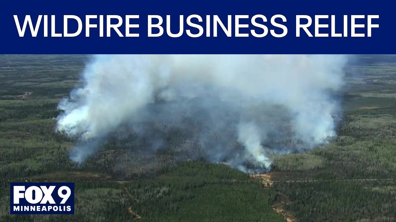
Northern Minnesota businesses need relief following wildfires
Megan Wind with Save the Boundary Waters joins FOX 9 All Day to discuss the need to business relief following this summer's wildfires.
ELY, Minn. (FOX 9) - Portions of Superior National Forest are reopening as firefighters make headway on several major wildfires sparked by July lightning strikes.
Superior National Forest reopens campsites as fire response continues
What we know:
Superior National Forest officials said more than 1,500 of 2,000 campsites — about 73% of the Boundary Waters Canoe Area Wilderness — will reopen to visitors starting Thursday, Aug. 13. Updated maps and recreation site information are available on the forest’s Alerts and Recreation web pages.
The Forest is managing the Little Knife Fire, which has burned 4,815 acres and is now 90% contained, about 45 miles northwest of Grand Marais. Officials said there has been minimal change in recent days, with 12 personnel still working on the ground.
Firefighters are also working on several other major fires, including the Camp, Sioux, Wolfpack, Bear Trap and Thumb fires. In total, July’s lightning fires have burned 73,742 acres — 65,135 in the U.S. and 8,607 in Canada.
Operations update
The backstory:
Air support remains a key part of the firefighting effort, with helicopters dropping 21,600 gallons of water and moving supplies and personnel on Sunday. Crews are getting ready for ground operations on the Wolfpack Fire, and are close to finishing containment lines on the Sioux Fire’s east side.
Firefighters continue to secure control features on the Camp Fire and are nearly done treating hotspots on the south side of the Bear Trap Fire. Crews are also scouting new containment lines and working on portages and hose placements in the Thumb Fire area. Officials said firefighting operations may be used Monday evening to help secure containment lines on the Thumb Fire near Loon Lake.
Weather and fire behavior
Why you should care:
Forecasts call for dry, partly cloudy weather with highs in the mid 70s. Relative humidity is expected to dip into the upper 30s to near 40 percent during peak afternoon heat, and northwest winds could gust up to 15 miles per hour.
The next chance for rain is overnight Tuesday into Wednesday. Officials warn there is some potential for fire spread as conditions dry out. Temporary flight restrictions remain in place over the fire area, including a permanent restriction over the Boundary Waters Canoe Area Wilderness.
Residents and visitors are reminded that most counties are under burn bans or other fire restrictions.
July lightning fires by the numbers
By the numbers:
- 73,742 acres burned (65,135 in U.S., 8,607 in Canada; 761 personnel assigned to the incident; Managed by the Eastern Area Complex Incident Management Team.
Major fires
- Camp Fire: 4,359 acres; 84% contained; 5 miles north of Winton
- Sioux Fire: 6,912 acres; 35% contained; north of Echo Trail, east of Jeanette Campground
- Wolfpack Fire: 6,239 acres; 23% contained; north of Echo Trail, east of Loon Lake
- Bear Trap Fire: 38,098 total acres (29,991 in U.S.); 41% contained; 20 miles north of Ely
- Thumb Fire: 18,134 total acres (17,634 in U.S.); 48% contained; 6 miles south of Gakijiwanong Anishnaabe Nation, Canada.
Residents can check their county’s evacuation website for the latest on evacuation zones, including Cook, Lake and St. Louis counties.
What’s next for visitors, residents
What you can do:
For the latest information on site openings, fire status and restrictions, visitors should check the Superior National Forest’s Alerts and Recreation web pages. Evacuation information will continue to be updated on county websites, and residents should stay alert for changes in burn bans or fire restrictions.
What we don't know:
Officials have not said when the remaining campsites or all recreation areas will reopen, and the full timeline for complete containment of the fires is still unclear.
The Source: Information from the Superior National Forest in a press release.