

The winds of change are upon us
Minneapolis, KMSP - It won’t be long before you can put away those umbrellas and pull out the shades. However, while grabbing those sunglasses, you might want to grab the coat. Our mild and wet weather is about to become more seasonable. The first step in most of our transitions is the passage of a cold front resulting in strong and gusty winds. These winds usually are from the North and West and bring with them much cooler temperature.
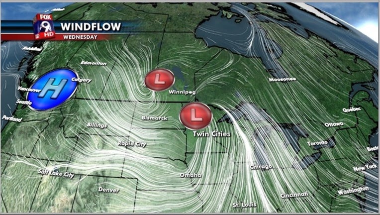
WHY SO WINDY?
The first part of this windy equation is the strength of the exiting area of low pressure. You have mostly likely seen the severe weather and blizzards associated with the southern leg of this system. The second part of the equation is the advancing high pressure building in from the northwest. The two strong storm systems will try to equalize as they pass on to the East.

The battle for equality will leave us on the front lines of some blustery weather conditions as we wrap up the workweek.
WHAT THE WINDS WILL BRING?
The reason for our rain over the past few days is the fact that the counter clockwise circulation. This is pulling up moist and warm air from down south and wringing them out over us. Once this circulation heads east of us, the winds will be drier and colder resulting in more of a Fall-like chill over the area as we approach the weekend.