

Minnesota wildfires: BWCA fires at about 50% containment, 73K acres burned
The impact of wildfires on Boundary Waters tourism
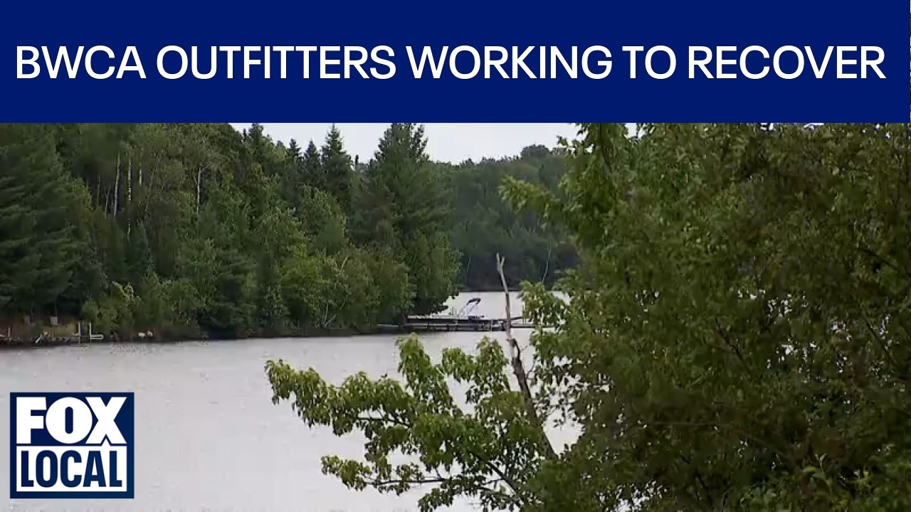
As parts of the Boundary Waters reopen after wildfire closures, paddlers are beginning to return to the area. North Country Canoe Outfitters owner John Schiefelbein joins us to discuss the impact of the wildfires on outfitters, the anticipation of visitors returning, and the road to recovery ahead.
ELY, Minn. (FOX 9) - Wildfire crews are making progress on several fires in and around Superior National Forest, but closures, evacuations and fire restrictions remain in place as officials urge caution for residents and visitors.
Fire updates, public safety information at Ely Farmer's Market
What we know:
Superior National Forest and wildfire personnel are providing fire and recreation information at the Ely farmers market at Whiteside Park from 4-7 p.m. Tuesday. The combined acreage of the July Lightning Incident between the U.S. and Canada is at 73,325 acres, with about 875 personnel assigned.
The Superior National Forest will resume management of the Little Knife and Chub Fires. The status of evacuations and closures is changing as crews make progress. Residents and property owners can search their county’s interactive evacuation map for the latest on exact locations and evacuation levels. The Chub fire is 100% contained, and the Little Knife fire is 90% contained.
The Echo Trail is closed from 9:30 a.m. to 7 p.m. Tuesday, from North Arm Road to Forest Road 200. Starting at 9:30 a.m. Wednesday, residents and property owners will have 24-hour access. During the day, motorists should expect flagging and pilot cars, with possible delays up to 30 minutes. People are asked to drive slowly and limit travel to avoid hindering firefighters.
Most counties remain under burn bans or other fire restrictions. Superior National Forest officials have moved portions of the forest from class IV to class III fire restrictions. Campfires are now allowed in open, developed recreation sites and rustic campgrounds, but only within designated Forest Service fire rings.
Some areas of the forest are reopening to visitors. Updated information is available on the forest’s "Alerts" and "Recreation" web pages. Forest service officials say visitors entering newly opened parts of the Boundary Waters Canoe Area Wilderness should be self-sufficient, have a travel plan, know the weather and fire conditions, bring multiple ways to communicate, and understand the risks of entering a remote wilderness area.
Fire behavior and ongoing operations
The backstory:
Fires stayed within containment lines as an overnight storm brought gusts up to 35 miles an hour and up to an inch of rain, especially in the western and northern regions. Cooler, drier weather is expected for the next few days, giving crews a chance to directly engage the fires. Work continues to organize resources for firefighters as they move into more remote areas.
Shifting and stronger winds in the coming days could pose risks, including the threat of dead or weakened trees falling along roads and in work areas. Several wildfires are being managed both inside and outside the Boundary Waters Canoe Area Wilderness.
Notable non-wilderness fires include:
- Camp Fire: 4,357 acres, 65% contained, 5 miles north of Winton. Firefighters are using drones to find hot spots and are building containment lines near Jackfish Bay.
- Finstad Fire: 1/10th acre, 0% contained, near Finstad Lake by Buyck. Detected August 1, it is being managed with aerial suppression.
- Sioux Fire: 7,071 acres, 16% contained, north of Echo Trail and east of Jeanette Campground. Crews are working to contain the fire south of Echo Trail.
- Wolfpack Fire: 5,715 acres, 25% contained, north of Echo Trail and east of Loon Lake. Crews are building containment lines by canoe and foot.
Wilderness fires include:
- Little Knife Fire: 4,815 acres, 90% contained, 45 miles northwest of Grand Marais. Management returns to Superior National Forest Tuesday evening, with rain slowing activity and strong progress on containment.
- Bear Trap (combined with Dark Fire): 37,885 total acres (29,778 in the United States), 40% contained, south of Lac La Croix, 20 miles north of Ely. Crews are working along the southeast edge near Boot Lake.
- Thumb Fire: 17,873 total acres (17,373 in the United States), 57% contained, 6 miles south of Gakijiwanong Anishnaabe Nation, Canada. Crews will attempt to access the Loon Lake area again after weather delays.
- Chub Fire: 424 acres, 100% contained, north of Chub Lake, southwest of Crane Lake. The Chub Fire is fully contained, and this is the last update for this fire. Firefighters are using drones, aerial tactics and hand crews to strengthen containment lines and monitor hot spots across the region.
Officials say 3.8 million gallons of water have been deployed on the fires via aerial operations, while another 570 miles of water line have been placed on fires. There are still 378 miles of uncontained fire line, and 11 new fires have started within the last week in central, northwest and northeastern Minnesota.
Why you should care:
Wildfires continue to impact travel, recreation and safety across northeastern Minnesota. Residents and visitors should stay updated on closures, restrictions and evacuation orders, and follow all safety advisories to help keep both the public and firefighters safe.
Anyone planning to visit the Superior National Forest or Boundary Waters Canoe Area Wilderness should check for the latest updates, restrictions and weather conditions before heading out.
What we don't know:
It is not yet clear when all closures and evacuation orders will be lifted, or when full containment will be achieved on the remaining active fires.
The Source: Information in this story comes from U.S. Forest Service officials and a U.S. Forest Service news release.