

Minnesota wildfires: Evacuations end, 73% of Boundary Waters campsites reopened
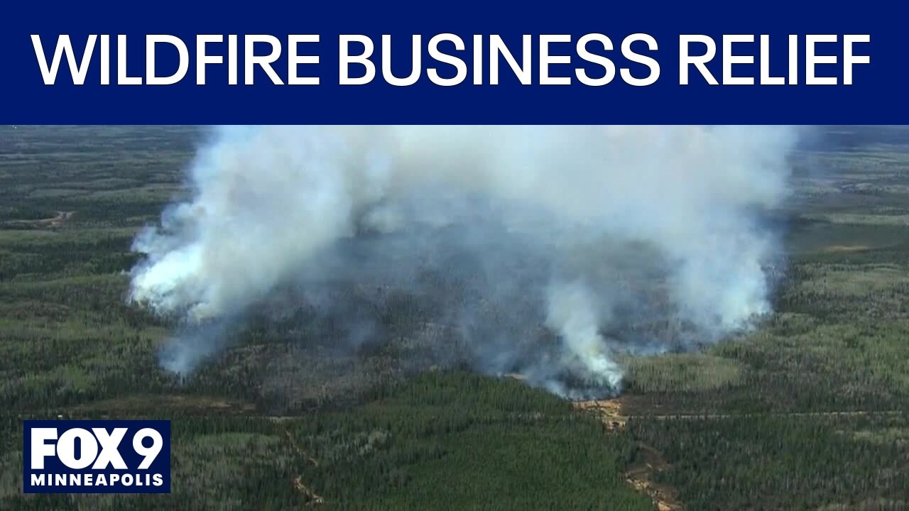
Northern Minnesota businesses need relief following wildfires
Megan Wind with Save the Boundary Waters joins FOX 9 All Day to discuss the need to business relief following this summer's wildfires.
ELY, Minn. (FOX 9) - Restrictions are easing across St. Louis and Lake counties and evacuation orders are being lifted as firefighting efforts continue and weather conditions shift for the Superior National Forest wildfires.
Evacuation orders lifted as forest access expands
What we know:
All evacuation orders in St. Louis and Lake counties have been lifted, and portions of Superior National Forest have reopened to the public, according to the latest U.S. Forest Service update released Monday.
As of Aug. 13, more than 1,600 of the roughly 2,000 Boundary Waters Canoe Area Wilderness campsites—about 73%—are available. Firefighting crews remain on the ground in several areas, and public safety remains a top priority as conditions can change quickly.
The following BWCAW entry points remain closed:
- Entry points closed through Aug 24: Angleworm Lake, From Canada, Little Indian Sioux SOUTH, Mudro Lake, Mudro Lake – Restricted, South Hegman Lake, Lac LaCroix Only, Little Vermilion Lake, Fall Lake, Fall Lake & Beyond, Angleworm Lake Trail and Herriman Lake Trail.
- Entry points closed through Sept 30: Little Indian Sioux North, Moose/Portage River North, Stuart River, Blandin Trail and Sioux-Hustler Trail.
A campfire ban remains in place inside the BWCAW. However, fires are allowed in designated fire grates and developed and rustic campgrounds in the Superior National Forest outside the BWCAW.
Current fire status and ongoing operations
By the numbers:
The forest is managing the Little Knife Fire, which is 4,815 acres and 90 percent contained, located 45 miles northwest of Grand Marais. There are four personnel currently on the ground, and conditions have seen minimal change from previous days.
The July Lightning Fires have burned a total of 74,990 acres, with 66,097 acres in the U.S. and 8,895 acres in Canada. There are 656 personnel working on these fires.
- Camp Fire: 4,357 acres, 97% contained, 5 miles north of Winton. Firefighters are focusing on the southern flank of a spot fire east of the main fire near Muskeg Creek. Chipping along the Cloquet Line is expected to finish in two days.
- Sioux Fire: 6,875 acres, 55% contained, north of Echo Trail and east of Jeanette Campground. Crews are mopping up hot spots and back hauling equipment.
- Bear Trap Fire: 38,505 acres (30,110 in the U.S.), 45% contained, 20 miles north of Ely. Firefighters are putting in fire lines, cooling hotspots, developing a helispot, and clearing portages.
- Thumb Fire: Now combined with the Wolfpack Fire, 25,253 acres (24,755 in the U.S.), 44% contained, six miles south of Gakijiwanong Anishnaabe Nation, Canada.
Crews are holding tactical burns, installing hoses and sprinklers, and securing containment lines. Echo Trail Road is undergoing logging and fuel break operations, with three-and-a-half miles of road left to clear. Travelers should expect substantial delays, and additional chippers are on order to speed up debris removal.
Weather outlook and travel advisories
Timeline:
A cold front is moving south from Canada, bringing a 60% chance of rain and a 30% chance of thunderstorms Monday afternoon and evening. Storms could bring gusty winds up to 45 miles per hour along with small hail and heavy rain.
More than an inch of rain fell on most of the fire area over the weekend, which helped moderate fire behavior. However, strong winds have since dried out the surface, and sheltered areas remain especially dry. Temporary flight restrictions are in place over the fire area, and a permanent restriction covers the Boundary Waters Canoe Area Wilderness.
Travelers along Echo Trail should prepare for delays due to ongoing logging, chipping, and road grading operations in the fire area.
What we don't know:
It is not yet clear when all portions of Superior National Forest and the BWCAW will fully reopen, or when all fires will be completely contained.
The Source: Information from Superior National Forest.