Waves of rain, storms cruise across Minnesota Wednesday, Thursday

(FOX 9) - April showers bring May flowers, right?
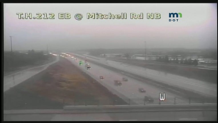
A gray and wet day could lead to a few areas of flooding Wednesday afternoon as several waves of rain and storms cruise across the state.
A general half-inch to an inch of rain is possible from the periods of rain caused by a warm front positioned across southern Minnesota Wednesday. Heavier bursts of rain inside pockets of storms could easily double that total, thus leading to temporary ponding and flash flooding issues. Some of the storms could produce small hail as well.
TIMELINE
Today: Cloudy and cooler with widespread rain and occasional thunderstorms. Temperatures will hover on either side of 50 degrees for the rest of the afternoon. Some of the storms could produce heavy downpours and small hail.
Tonight: Scattered showers continue off and on through the night as we dip to a low around 40 degrees.
Thursday: Morning showers taper off through the day as we develop some partial clearing with highs in the lower 50s.
Friday/Weekend: Looking beautiful as we bask in the sunshine and mild temps returning to the 60s and 70s.

