

Snow totals: 3.2 inches in Twin Cities since Wednesday night
MINNEAPOLIS (FOX 9) - Since Wednesday night, 3.6 inches of snow has already fallen in the Twin Cities metro, with up to 7 inches expected before Thursday is over.
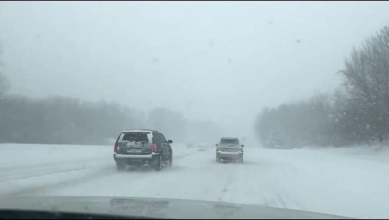
A Winter Storm Warning has been issued for the Twin Cities metro through late Thursday and in southwest Minnesota, a blizzard warning has been issued.
The greater Twin Cities metro is now likely to get 4 to 7 inches of snow, with pockets of 6 to 9 inches possible before the snow tapers early Thursday evening.
SNOW TOTALS (AS OF NOON)
- MSP Airport: 3.2"
- Chanhassen NWS: 3.1"
- Rosemount: 4.5"
- Afton: 2"
- Blaine: 3"
- Monticello: 5.5"
- St Cloud: 4.1"
- Mankato: 4"
- NWS Duluth: 7.7"
- Eau Claire: 1.5"
SNOW TIMELINE
Afternoon: Snow and blowing snow with gusty winds as temperatures fall to the lower teens, with wind chills below zero.
Evening: Snow tapers off in the metro as temperatures continue to fall.
Tonight into Friday: Wind Chill Advisory until noon Friday. It will be cold; wind chills will get to minus 30 in the Metro tomorrow morning with a high struggling to get back to zero Friday afternoon.
Stay up to date during this week's winter weather by downloading the FOX 9 Weather App. It has the latest temperatures, snow totals, forecasts and school closings 24/7. Download it for Android or Apple.