

Minnesota wildfires: Authorities report firefighting progress after rain, shifting winds
MN wildfires: Full news conference in Ely
Authorities in Minnesota gave an update on the wildfires that are burning in the northern part of the state and warned that the fires will likely last until there is a significant shift in the weather.
(FOX 9) - The Minnesota Incident Command System (MNICS) said crews have made progress in fighting15 active wildfires from the July Lightning Event.
The size of these fires varies greatly, with crews monitoring some and actively working to contain others.
Battle against Minnesota wildfires continues
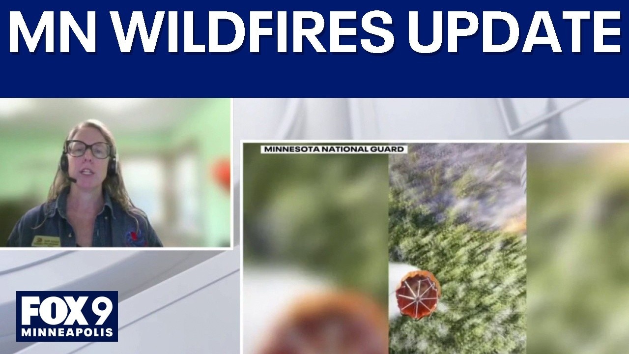
Fight continues against northern MN wildfires
Efforts continue in northern Minnesota to contain the wildfires in the Boundary Waters Canoe Area Wilderness. FOX 9's Leah Beno spoke live with Minnesota Incident Command System Public Information Officer Karen Harrison for the latest updates.
Big picture view:
State officials say fire crews were able to conduct mapping of the fire after the smoke cleared on Friday following days of dense smoke coverage.
Authorities are now asking the public to assist first responders by adhering to evacuation orders, closures, and fire restrictions, while refraining from flying drones in the area and keeping boats out of bodies of water where water-gathering aircraft operate.
Evacuation orders
Local perspective:
Minnesota first responders use the "Ready, Set, Go" three-step evacuation system to tell residents how to respond wildfires and other emergencies.
- Lake County: The Highway 16/Fernberg corridor from the Garden Lake Bridge to the end of Fernberg is under a "Go" status, and anyone in the area is ordered to evacuate immediately.
- St. Louis County: Portions of the Echo Trail from Big Lake up to 200 Road near the Sioux Fire are under a "Go" order, with people told to leave for their safety. Other areas are under "Set" evacuation notice for the Martin Creek, Ridge, Beaver Tail, Coffin & Echo 2 fires.
- Cook County: The area at the end of the Gunflint Trail remains at a "Set" status due to the Little Knife Fire. The Midtrail area of the Gunflint Trail west of Hungry Jake Lake Road and the northern parts of the townships of Schroeder, Tofte, and Lutsen have moved into a "Ready" status.
15 active wildfires in northern Minnesota
By the numbers:
Authorities shared updates on 15 active wildfires in northern Minnesota.
- Camp: 4,176 acres, located five miles north of Winton, believed to be caused by lightning. Crews established a handline on the southern perimeter of the fire and connected the southwest fire perimeter to Camp Lake. Firefighters are also evaluating the Echo Trail to establish a containment line from Echo Trail to the western fire perimeter while protecting structures along Fernberg Road.
- Sioux: About 10,837 acres, north of the Echo Trail and east of Jeanette Campground. Structure protection is ongoing, with efforts focused on Moose Loop Lake and direct handlines south of Echo Trail.
- Little Knife: 6,000 acres in the US, 80,000 acres in Canada after the fire started in Ontario. with growth as far south as Ogishkemuncie Lake.
- Bear Trap: (Bear Trap and Dark Fires combined): About 34,545 acres, south of Lac La Croix, 20 miles north of Ely. Structure protection continues around Big Lake.
- Thumb: 15,394 acres, 6 miles south of Gakijiwanong Anishnaabe Nation, Canada. Aircraft are monitoring the fire.
- Chub: 350.7 acres, located north of Chub Lake, south-west of Crane Lake. Crews put in hand lines and increased the fire break line around the perimeter. Officials say they plan to increase those control and contingency lines on Saturday.
- Echo 2: 16.4 acres just off of the Echo Rapids Road, north of Echo Lake. Crews say they made progress on Friday against the fire and will continue to extinguish all areas of heat that are identified.
- Beaver Tail: 11.6 acres, located west of the Vemillion River. Firefighters plan to continue patrolling perimeters and cooling hot spots.
- Seven smaller fires have burned less than 10 acres, including Ridge, Creek, Marion Creek Trail, Nine, Camp 5/Duck, Bug Creek and Coffin.
The backstory:
The fires began after a dry thunderstorm on July 6 brought more than 1,000 lightning strikes to the region.
Many fires started as a result, with some contained quickly and others growing due to extreme weather.
Fire managers have brought in additional resources, including engines, air support and crews to support local efforts.
The Source: This story uses information shared by the Minnesota Incident Command System.