

Minnesota weather: Bright and hot Tuesday with late-day storm chances
MN weather: Hot Tuesday ahead of late-day storms
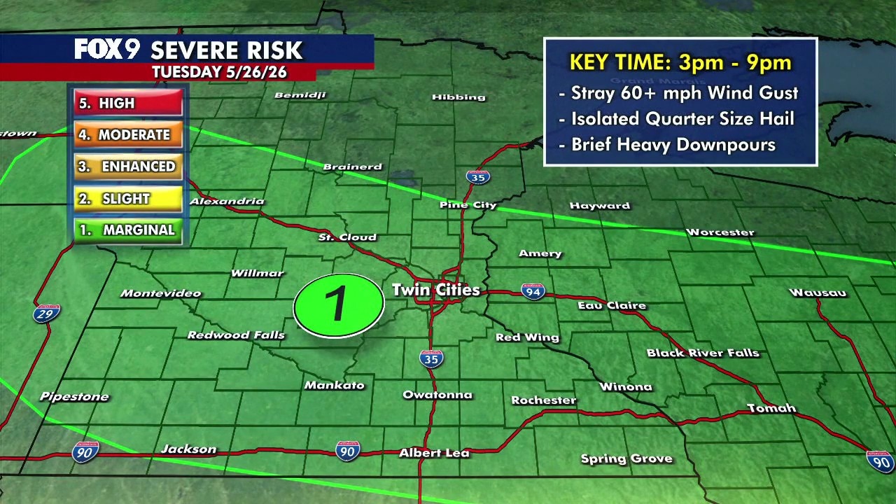
It's another hot Tuesday in Minnesota with highs in the upper 80s and low 90s. There is a chance of scattered storms in the afternoon and evening, with a level 1 marginal risk of severe weather. FOX 9 meteorologist Cody Matz has the forecast.
MINNEAPOLIS (FOX 9) - A hot Tuesday across Minnesota brings temperatures in the upper 80s and low 90s before scattered storms develop later in the day.
Tuesday’s forecast in Minnesota
What to expect:
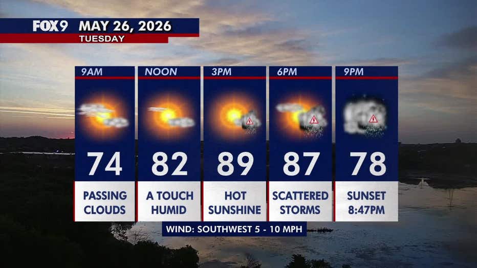
Tuesday starts unsettled across parts of southern Minnesota, where early showers and thunderstorms will clear heading into the late morning. Cloud cover may linger into the lunch hour around the Twin Cities metro before sunshine returns through the afternoon.
Temperatures quickly climb into the upper 80s and low 90s statewide, with the metro topping out around 89 degrees. Southwest winds stay fairly light at 5 to 10 mph.
Conditions stay mild and muggy, with overnight lows holding in the 60s.
(FOX 9)
Storm chances on Tuesday
What to expect:
Some leftover overnight showers and storms are falling apart through mid-morning. That leftover cloud cover and rain-cooled air could affect storm development later in the day, but isolated to scattered thunderstorms are still expected to redevelop by mid to late afternoon.
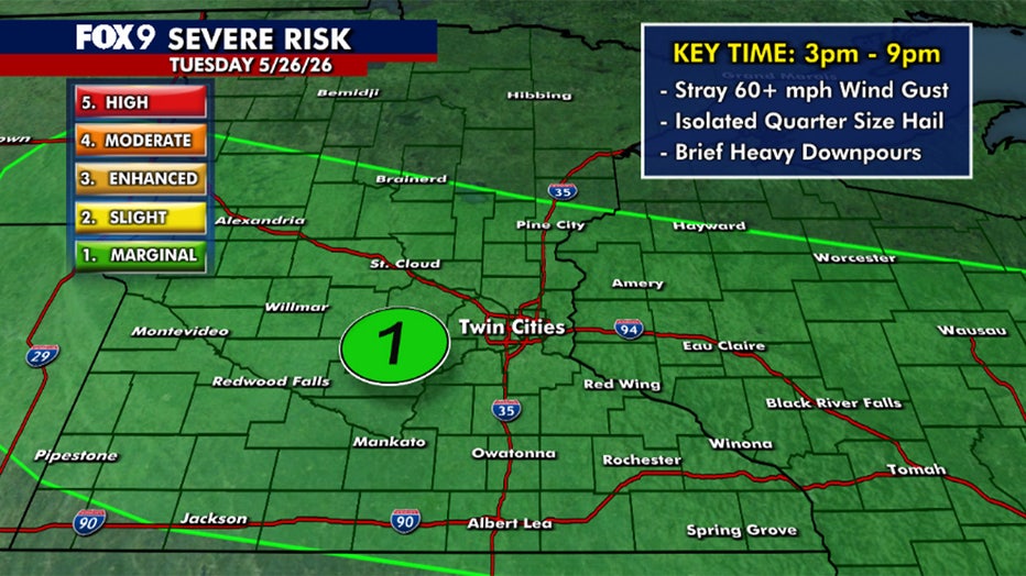
The main window for storms across the Twin Cities metro and much of Minnesota runs from roughly 3 p.m. to 9 p.m. These storms, which carry a level 1 marginal risk of severe weather, could bring brief heavy downpours, lightning, and small hail. A few stronger storms could produce gusty winds and quarter-size hail, though the overall severe weather threat remains low.
Storms gradually weaken overnight, though a few lingering rumbles remain possible.
Extended Minnesota weather forecast
What's next:
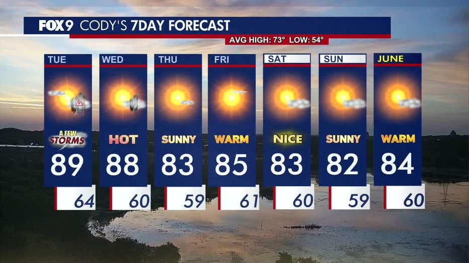
Wednesday stays hot, with highs again reaching the upper 80s. Most of the day looks dry, with a stray afternoon storm possible.
Thursday turns slightly less humid as dew points begin to fall. Temperatures cool slightly into the low to mid-80s.
Warm summer-like weather continues through the rest of the week, with highs staying in the 80s and plenty of sunshine.
Here's a look at the seven-day forecast:
The Source: This forecast uses information from FOX 9 meteorologists.